Isaac's Journey
Home Page
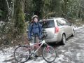
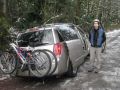
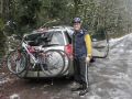
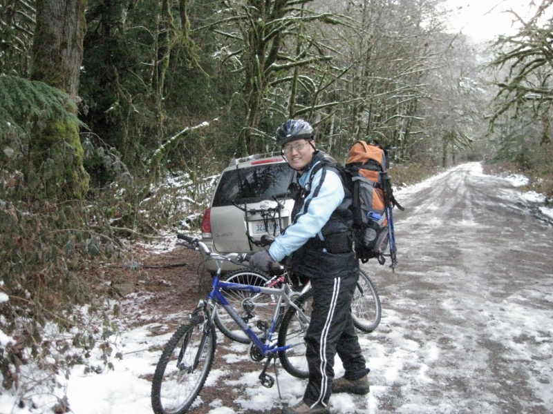
Biking & Hiking along the Dosewallips
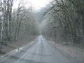
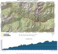
River Road - 14 miles with 2000 ft gain.
This Album Background:
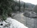
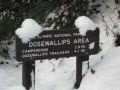
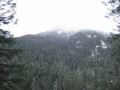
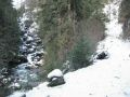
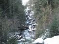
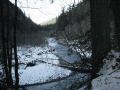
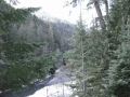
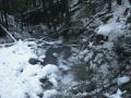
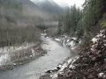
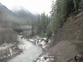
The Dosewallips
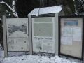
River Road is located 11 miles below the Quilcene
area (25 miles after crossing the Hood
Canal Bridge).
From Bremerton,
Quilcene is about 30 miles to the Northwest. This was my first Bike/Hike to
this area as I was last week at the Elwah
River area in the North
Olympic area.
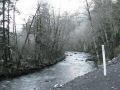
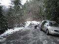
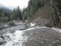
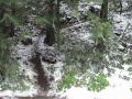
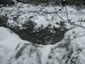
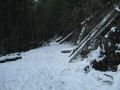
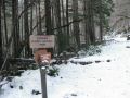
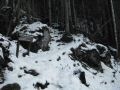
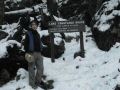
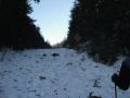
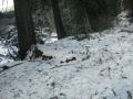
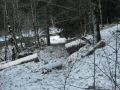
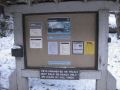
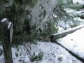
A football field-sized length of the Dosewallips Road to
the Dosewallips Ranger Station was washed away in January 2002 during a flood
of the river. I estimated that it was about 10 miles west (7 miles paved and 3
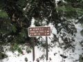
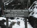
miles unpaved) of Highway 101. Along the road, there is a trailhead to the Lake
Constance (2 miles one-way with 3400 ft
elevation gain) about 3.5 miles from the washed away area. And the Dosewallips
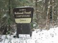
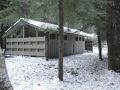
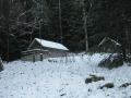
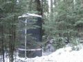
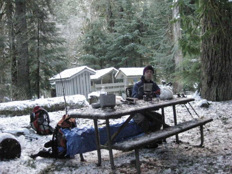
Camp Ground (CAR CAMPING AREA) and the Range Station are about 5 miles from the
washed away area. The Dosewallip Camp Ground was indeed a nice area right next
to the Dosewallip
River but now needed to
hike 5 miles to camp there. I was little apprehended with the meaning of the
Dosewallips, that is, a place of thieves. However, nobody broke in my car or
stole our bikes.

Biking/Hiking Summary
7 miles round trip biking to the Lake Constance
trailhead and 7 miles round trip hiking just short of the junction to the
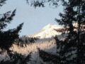
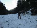
Constance Pass. Elevation gain was about 2000 feet gain. It was a beautiful
day. Temp was at 30F at the trailhead but was mid 20s along the trail with some
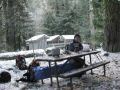
wind. Left the washed away trailhead at 0820. Turned around just short of the Constance Pass at 1245. Had a lunch at the Ranger
Station. Left there at 1400. Arrived back at the trailhead at 1515.
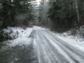
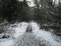
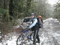
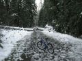
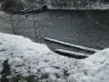
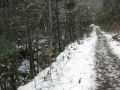
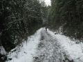
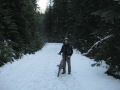
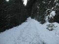
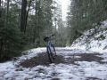
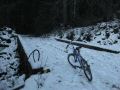
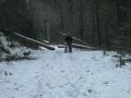
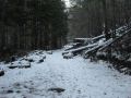
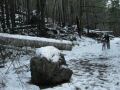
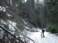
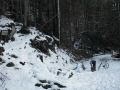
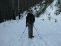
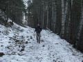
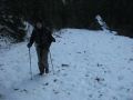
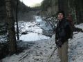
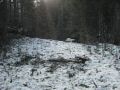
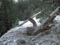
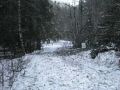
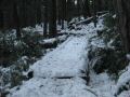
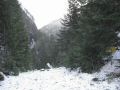
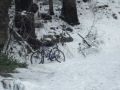
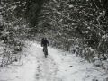
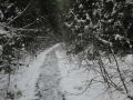
We pretty much carried the bike all the way pass
the Lake Constance trailhead (3.5 miles). There
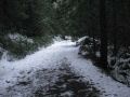
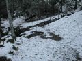
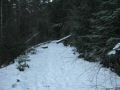
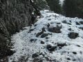
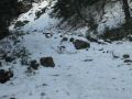
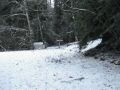
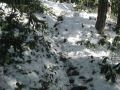
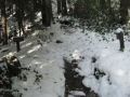
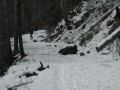
were too much snow on the road, so we left the bikes on the road with a lock
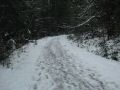
and started hiking. We did not see anybody on the trail but there were foot and
bike prints on the snow indicating that somebody else hiked and biked the area
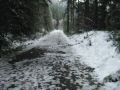
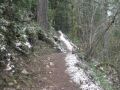
after the heavy snow last Monday. Right pass the Lake Constance
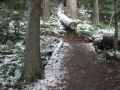
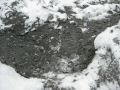
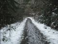
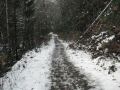
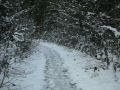
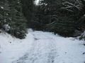
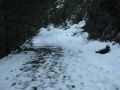
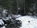
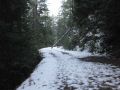
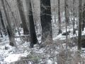
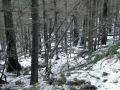
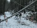
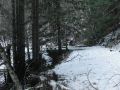
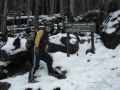
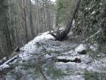
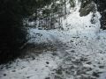
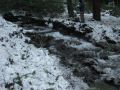
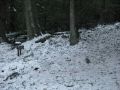
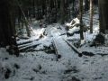
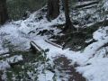
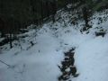
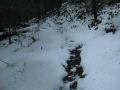
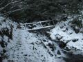
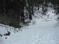
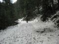
trailhead, we hiked on the service road to the Ranger Station. Some spots had
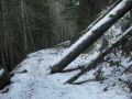
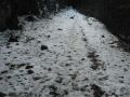
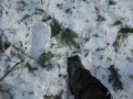
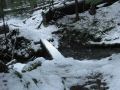
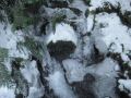
close to 1 ft of snow but it was still walkable with some efforts. Also, the
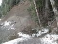
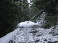
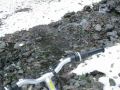
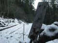
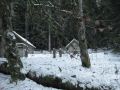
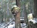
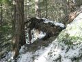
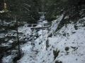
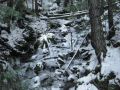
crunchy snow helped a bit walking on the snow. There were a couple of land
slides along the road but those could be easily taken care of using a
bulldozer. Surprisingly, the road to the Ranger Station was still in good
shape.
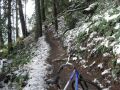
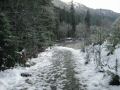
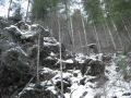
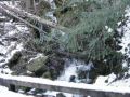
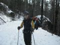
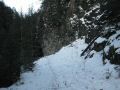
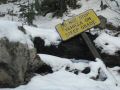
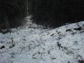
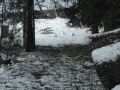
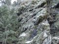
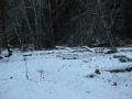
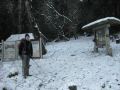
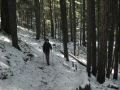
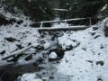
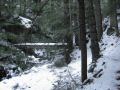
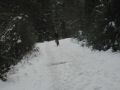
After the Ranger Station, we had some difficulty
finding the trail beyond. We were able to figure it out using a map. Not on the
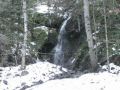
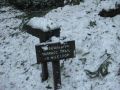
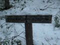
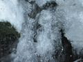
map but we needed to cross a stream without a bridge. Then, we saw the Terrace
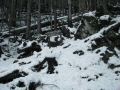
loop trail sign and the continuing trail. We hiked another 2 miles just short
of the Constance Pass and turned around at 1245 (to be
back at the car by 1500). The hiking trail was in excellent condition: no down
trees due to heavy winds and snow last Monday.
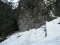
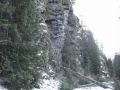
Biking down from just above the Lake Constance
trailhead was a BLAST. It was well worth to carry the BIKE. It was also a good
exercise. When I came home, I felt like I just did a day-hike of a 20 miler
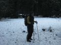
with 5000 ft elevation gain. It was a good experience with the new areas and
thanks to Aaron for going together.
Biking/Hiking highlights:
0 miles-0.1 miles: Carry the Bike up the improvised
trail (due to huge washout)
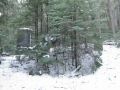
3.5 miles Lake Constance Trailhead. Due to too
much snow on the road, stored the Bikes around the corner next to a huge
boulder.
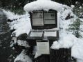
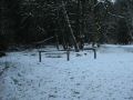
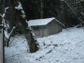
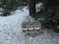
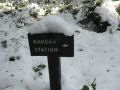
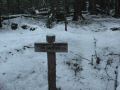
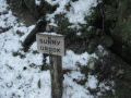
4.9 miles. Hike. Dosewallips Ranger Station. Camp Ground.
1540 ft elevation.
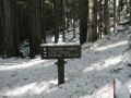
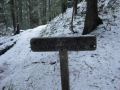
5.0 miles Junction with Dosewallips Terrace Loop Trail (1.4 mile trail)
5.6 miles. Creek
6.3 miles Dose Fork. Anderson Pass
trail.
7.0 miles 0.4 miles short to the junction with Constance Pass
Isaac's Journey
Home Page