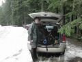
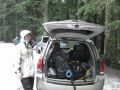
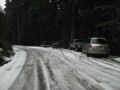
Kyle and I wanted to snowshoe the Hurricane Hill from the Hurricane Ridge (next to the Hurricane Ridge Visitor Center). With weather permitting, the Hurricane Ridge Road (access road to the Visitor Center) opens at 0900 and closes at dusk. We also wanted to check out the Obstruction Pt road for another trip of snowshoeing and cross country ski, the Ski Resort area, sunrise hill, etc. We arrived at the lower gate (pay station) around 0840 but found out that the road would be closed due to strong wind and heavy snow (Hurricane Ridge Road Status Hot Line: 360-565-3131). Our backup plan was to drive further west on Hwy 101 to the Elwha Valley Road, and hike the Olympic Hot Springs and possibly beyond to the Boulder Lake.
Hiking Summary:
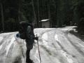
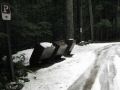
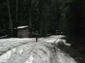
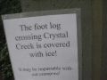
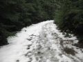
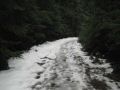
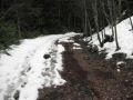
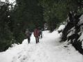
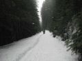
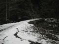
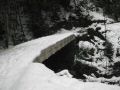
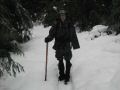
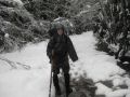
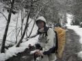
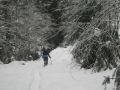
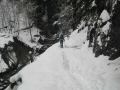
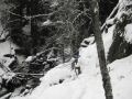
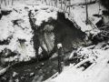
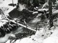
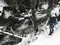
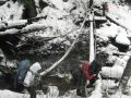
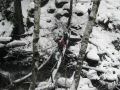
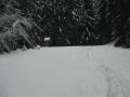
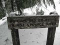
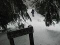
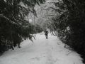
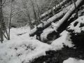
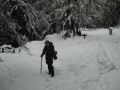
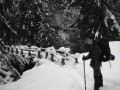
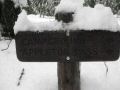
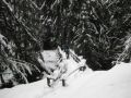
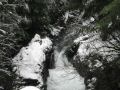
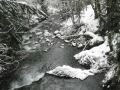
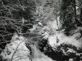
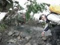
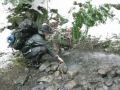
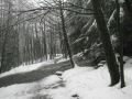
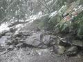
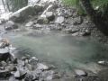
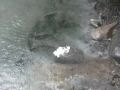
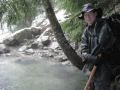
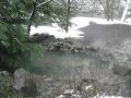
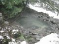
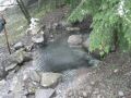
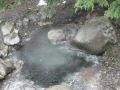
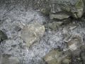
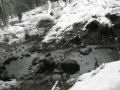
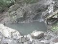
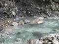
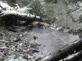
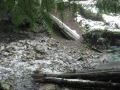
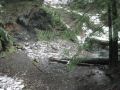
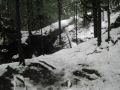
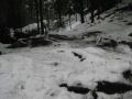
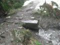
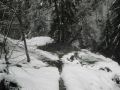
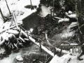
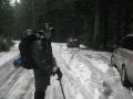
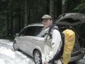
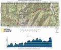
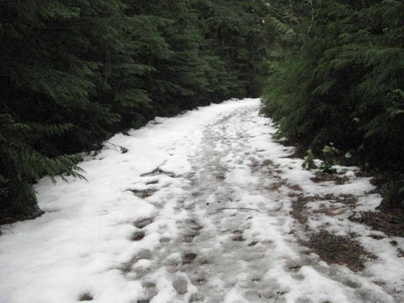
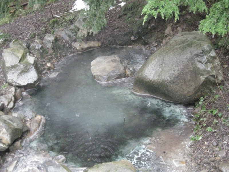
Estimated 5 miles with 1100 elevation gain. Left trailhead 1025. Return back at 1320. Weather was rainy all day. We were hoping some snow but the temperature was too warm at high 30s and not enough elevation (about 2000 ft elev). We drove to the end of the Elwah River Road and hiked to the Olympic Hot Springs. With continuous rain, we got wet. Actually, my outfit was for snow, so I was not comfortable hiking in the rain. However, it was a short easy hike. We crossed two bridges (Cougar Creek and Hell Creek) which looked like new, and a log bridge (Crystal Creek) which was little dicey due to its flimsy railing construction. At the Appleton Pass Junction, on the left, we could see a well built bridge that lead us to the Hot Springs. Then, we started smelling sulfur and saw the steam/fog from the hot springs. We counted about 6 series of hot pools: 9 pools total. I wish I had a thermometer to measure the temperature. The Hot Springs temperature felt like lukewarm (it’s probably because our hands were cold. Supposed to be like 100s,) and the bottoms were full of black silt. Since the Hot Springs are not maintained, that’s the way it is (the nature way). In one pool (the first pool), there were a couple of burnt candles. Some ignorant people left them there. On the way to the Hot Springs, we met several people who spent overnight. On the way out, we met two parties (4 and 2) wanted to check the Hot Springs for the first time.
On the way home, it was raining and raining, except for the Sequim area. We wished we hiked the Dungeness Spit instead. After the Sequim, it rained all the way to the Silverdale, actually, most of Washington State was soaked and wet as the weatherman mentioned on the evening news.
Hiking Highlights (estimated distance):
a. Cougar Creek: 0.2 miles.
b. Hell Creek: 0.7 miles
c. Crystal Creek: 2 miles.
d. Camp Site: Appleton pass Junctcion. 2.2 miles.
e. Olympic Hot Springs: 2.5 miles.