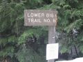
Day Hiking the lower Big Quilcene
Trail #833 (12.4 miles with 1300 ft elev gain)
Last year, I day-hiked a few places from the
trailheads around the Big Quilcene River area like the Mt Townsend, Tunnel
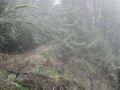
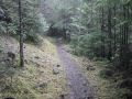
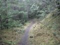
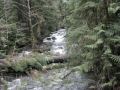
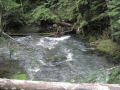
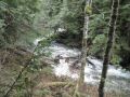
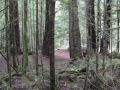
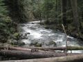
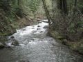
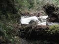
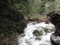
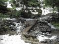
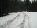
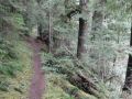
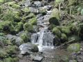
Creek, and the Marmot Pass. The lower Big Quilcene trail is considered as a low
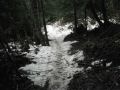
land hike (1500 ft -2500 ft elev) and provides an excellent hike in the winter,
and the trail ends at the Upper Big Quilcene Trailhead, that is, for the Marmot Pass
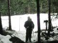
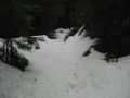
(6000 ft elev) in 5.3 miles with 3500 ft elev gain. Yes, the last mile or so
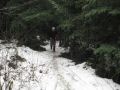
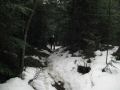
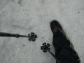
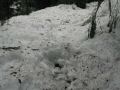
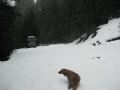
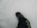
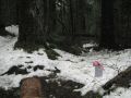
still had more than 1 feet of snow but snowshoes were not needed due to
previous foot prints. Foot traction would be helpful for the last 1 mile. If
foot tractions were not used, careful footing with hiking poles should be
practiced. There is an excellent recent report on this trail (23 Jan 2011) at
the PWCkitsap.org website. The report actually inspired me to hike this trail.
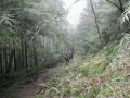
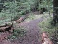
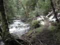
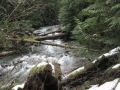
Unlike the Upper Big Quilcene trail (to the
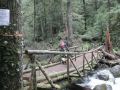
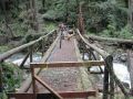
Marmot Pass), the lower Big Quilcene trail is relatively flat and is for hiking,
horseback riding, mountain biking, fishing, and viewing scenery, and
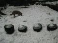
backpacking (a couple of nice camp sites). Weather was cloudy and temp was mid
30s.
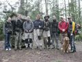
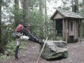
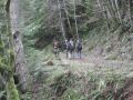
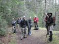
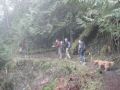
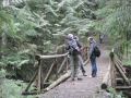
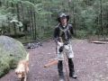
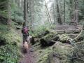
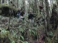
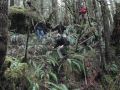
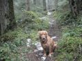
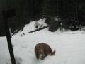
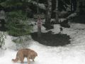
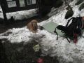
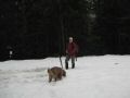
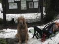
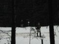
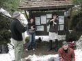
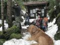
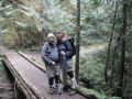
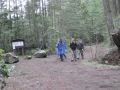
We had a big crowd today: a total of 9 hikers. I
coordinated to hike with Kyle, and Craig. Coincidently, Jay Thompson had a
bigger crowd with him hiking the same trail. So, we decided to hike the trail
together. It is always fun and energetic to hike with a bunch of hikers, and
excellent opportunity to meet new hiking friends.
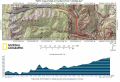
Hiking Summary:
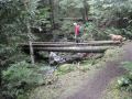
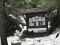
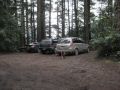
a. Trailhead 0 miles 1200 ft elev
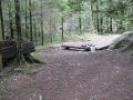
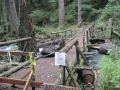
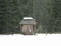
b. Bark Shanty Camp 2.6 miles 1700 ft elev.
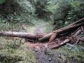
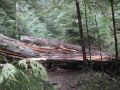
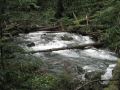
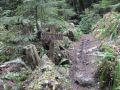
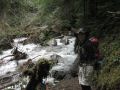
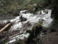
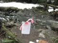
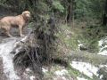
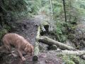
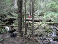
Another 1/4 - 1/2 miles up, there is a big washed away area. A way trail is to
climb up to the right and follow the ribbons (that Kyle and Craig placed...)
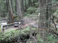
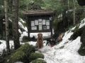
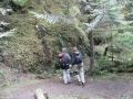
c. Camp Jolley 4.7 miles 2000 ft elev. Some of
us could not quite find this Camp on the way up, but, found the camp site on
the way down.
d. Ten Mile Shelter 6.2 miles 2500 ft elev.
In overall, it was an excellent hike. I have not
hiked more than 10 miles since 2 Jan. This hike confirms that I really like
hiking and am currently in excellent shape for backpacking. I can probably hike
20 miles with 5000 ft elev gain tomorrow !!!
|
|
|
|
|
|
|
|
|
|
|
|
|
|
|
|
|
|
|
|
|
|
|
|
|
|
|
|
|
|
|
|
|
|
|
|
|
|
|
|
|
|
|
|
|
|
|
|
|
|
|
|
|
|
|
|
|
|
|
|
|
|
|
|
|
|
|
|
|
|
|
|
|
|
|
|
|
|
|
|
|
|
|
|
|
|
|
|
|
|
|
|
|
|
|
|
|
|
|
|
|
|
|
|
|
|
|
|